Ruler and scale
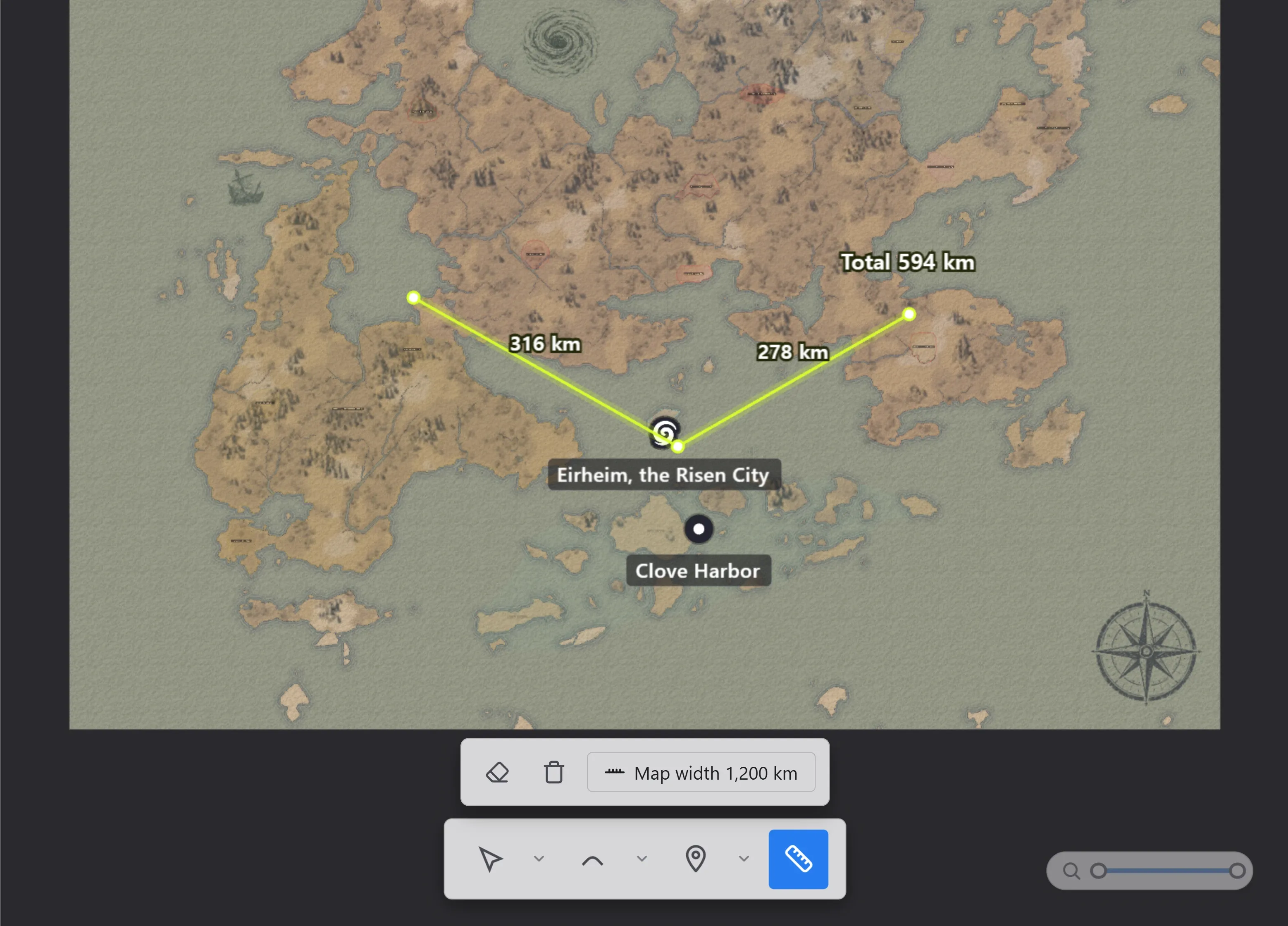
The ruler tool (L) measures distances on the map. Lines connect the points you click, with the distance shown per segment.
How to use it
Section titled “How to use it”| Action | What it does |
|---|---|
| Click | Adds a point. Keep clicking to extend the line. |
| Drag | Draws one segment in a single drag. |
| Drag a point | Moves a placed point. Distances recalculate. |
Enter or double-click | Ends the current line. The next click starts a new one. |
| Right-click | Places a final point where you clicked and ends the line. |
Backspace | Removes the last point of the line being drawn. |
With the ruler tool selected, the options bar appears above the toolbar. Turn on the eraser and click a point or line to delete it, or use Clear all to wipe everything at once.
Measurements stay around when you switch tools and show again when you return to the ruler. They are not saved to the file.
Measuring area
Section titled “Measuring area”The arrow next to the ruler in the toolbar switches between Ruler and Area. The mode button in the options bar switches it too.
In area mode the points you place close into a shape, and the size of the enclosed area is shown at its center. Use it to judge how big a country or a lake is.
Both modes share the same lines. Switch a line you drew for distance over to area and you read its size without redrawing it, and switching back shows the segment distances again. With a scale set, areas are shown in km².
Map scale
Section titled “Map scale”The Set scale button in the options bar sets the map’s real-world size.
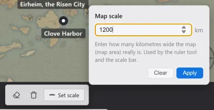
Enter how many kilometers wide the map really is, and the ruler shows distances in km. Without a scale, distances show in internal units.