
Move and scale terrain
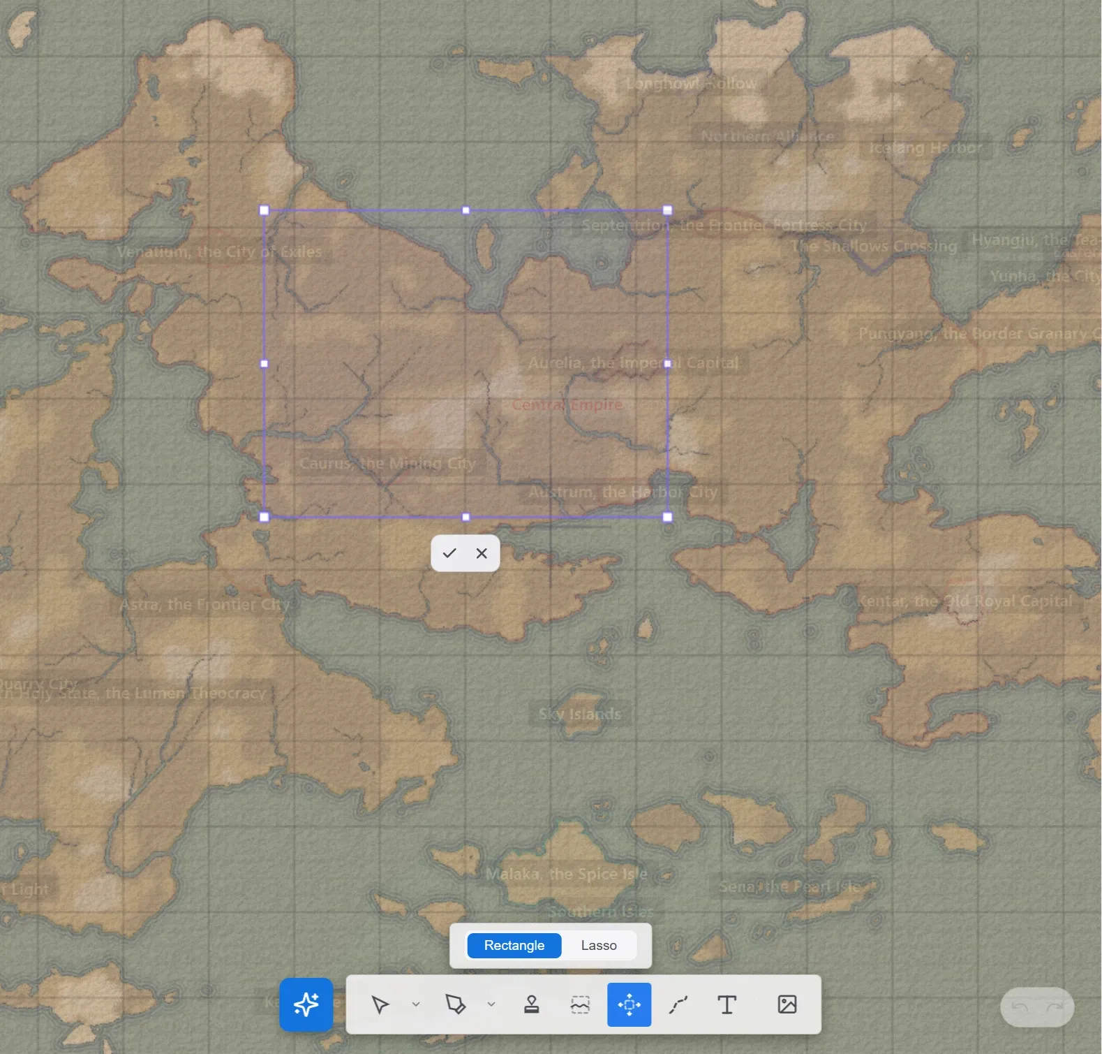
The Move/Scale Terrain tool (G) in background edit mode moves or resizes part of the terrain you already have. Use it to shift a continent further south, to make an island bigger, or to widen a narrow peninsula.
The terrain inside the selection moves together with the stamps standing on it. Regions, markers, roads, and placed images are not terrain, so they stay where they are.
How to use it
Section titled “How to use it”-
Select the Move/Scale Terrain tool in background edit mode.
-
Choose Rectangle or Lasso in the right panel.
-
Drag to select the area you want to move or resize.
-
Drag inside the selection to move it, or drag a handle to resize it.
-
Confirm with the check button below the selection, or revert with the cancel button.
| Action | What it does |
|---|---|
| Drag inside the selection | Moves the terrain. |
| Drag a corner handle | Scales up or down, keeping the proportions. |
| Drag an edge handle | Stretches along one axis, changing the proportions. |
Esc | Applies the changes so far and ends the selection. |
A handle always moves with the opposite side pinned. Dragging the left edge leaves the right edge where it is.
While you drag, a preview image of the selected terrain follows the cursor, and the real terrain is repainted when you release. A large area takes a moment to repaint, and a progress note appears while it does.
How stamps follow
Section titled “How stamps follow”Stamps follow by range, not by size. Doubling a mountain range does not give you one mountain twice as large: it gives you the same mountains standing across twice as much ground, so there are more of them. A plain move carries the stamps across exactly as they were arranged.
The ground you move away from is filled in from its surroundings. Move an island out of open sea and the spot becomes sea; move a piece of inland terrain and the spot is filled by the surrounding land.