
Grid and contours
The map can show a grid and a contour overlay. Their buttons sit next to the opacity row in the left panel of background edit mode. Each button opens a settings popup, and the settings are saved per map and travel with the project file.
Draws a grid over the whole map. Useful for judging distances or for cell-based movement in TTRPGs.
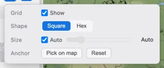
| Element | What it does |
|---|---|
| Show | Turns the grid on and off. |
| Shape | Choose a square or hex grid. |
| Size | The cell size. With Auto on, it follows the map size. |
| Anchor | Where the grid starts. Press Pick on map, then click the map to set it; Reset restores the default. |
Contours
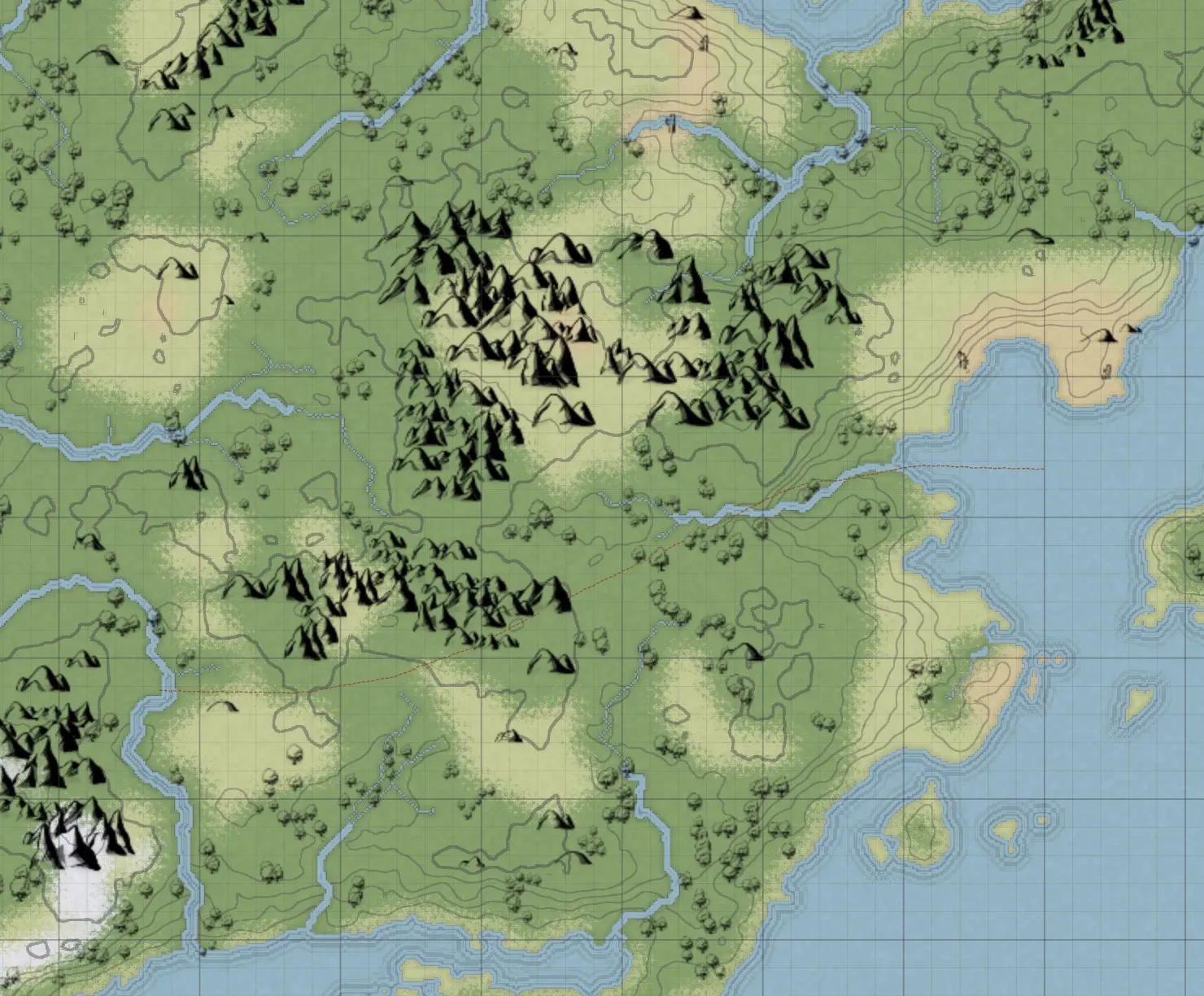
Section titled “Contours”Draws contour lines that follow the heights of generated terrain. The lines stay hairline-thin at any zoom, and where a steep slope packs them tightly they read as a subtle shading.
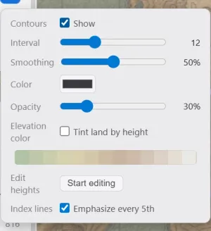
| Element | What it does |
|---|---|
| Show | Turns contours on and off. |
| Interval | The height between contour lines. Smaller values draw denser lines. |
| Smoothing | How much small wiggles are ironed out. Even at maximum, a small summit keeps its closed ring. |
| Color | The line color. |
| Opacity | The line strength. |
| Index lines | Emphasizes every 5th line to make heights easier to read. |
Heights come from the terrain generator. A map painted only with the brush has flat heights and shows no contour lines. Painting water over generated terrain lowers that spot to sea level, which erases its contours as well.
Elevation color
Section titled “Elevation color”Turning on Elevation color in the contour popup tints the land by height, the way an atlas separates lowland from high mountains. It works on its own, with or without the contour lines.
| Control | What it does |
|---|---|
| Elevation color | Turns height tinting on and off. |
| Gradient | Previews the color ramp. Click the ramp to open its editor. |
| Color strength | How strongly the tint sits over the terrain. |
Clicking the ramp opens an editor where you set the colors yourself. Click an empty spot on the ramp to add a color stop at that height, then drag stops around or change their color and position. Two stops is the minimum.
Stepped in the same editor divides the colors into bands at the contour interval, so every color boundary lands exactly on a contour line. With it off, the colors blend smoothly by height.
Editing heights
Section titled “Editing heights”Start editing in the contour popup’s Edit heights row lets you raise and lower the land directly. Heights are only visible as contour lines and elevation color, so the button works only while contours are shown.
| Control | What it does |
|---|---|
| Raise / Lower | Whether the brush raises or lowers the height. |
| Size | The brush size. |
| Strength | How much the height changes per stroke. |
| Done | Ends height editing and returns to the tool you were using. |
Only the height changes; the terrain color stays as it is. Water is left alone, and lowering never pushes land below sea level. One stroke is one undo step.