
Coastline deform
The Coastline Deform tool in background edit mode regenerates the land-to-water boundary inside a selected area. It applies to all land, regardless of whether it was generated automatically or painted by hand.
How to use
Section titled “How to use”-
Select the Coastline Deform tool in background edit mode.
-
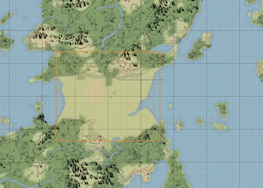
Drag over an area the coastline passes through, in Rectangle or Lasso mode.
-
Adjust the sliders in the right panel. The result previews live on the canvas.
-
Press Apply to commit, or Cancel to restore the original terrain.
Sliders (right panel)
Section titled “Sliders (right panel)”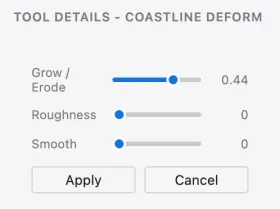
| Control | What it does | Raise | Lower |
|---|---|---|---|
| Grow / Erode | How far the coastline expands or recedes | Land expands outward | Water cuts inward |
| Roughness | How jagged the coastline is | More small indentations | Closer to the original outline |
| Smooth | How much small bumps are cleaned up | Gentler, smoother coastline | Closer to the original outline |
Other elements
Section titled “Other elements”| Element | What it does |
|---|---|
| Rectangle | Selects the inside of a dragged rectangle. |
| Lasso | Selects the inside of a freehand loop. |
| Apply | Commits the change. A single undo reverts it. |
| Cancel | Discards the change and restores the terrain. |
The effect fades toward the edge of the selection, so the new coastline blends into the untouched terrain around it.
Heights are adjusted along with the reshaped coast, so on maps with contours turned on the lines stay consistent with the new coastline.